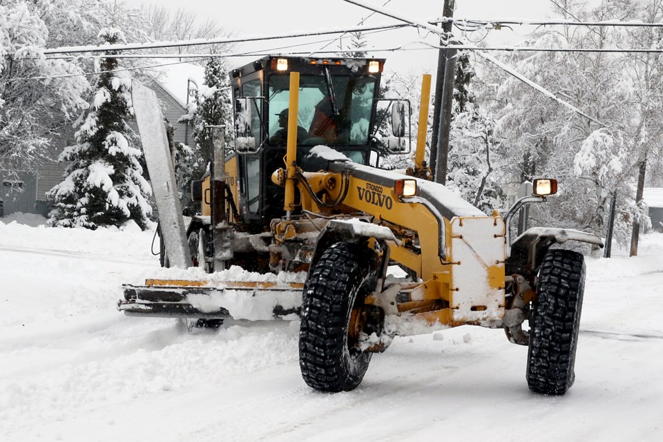
It's time to get the winter boots, shovels and snowbrushes out across Northwestern Ontario.
The season's first major snowfall is expected to hit the region this week, with some areas expecting up to 25 centimetres of snow.
Environment Canada has issued winter storm watches for areas including Kenora, Dryden, Fort Frances, Ignace, Sioux Narrows-Nestor Falls, Emo, and Rainy River, with the storm expected to begin Thursday and continue into Friday.
Environment Canada is forecasting total snowfall accumulations between 15 and 25 cm, along with strong wind gusts that could lead to blowing snow and reduced visibility. The heaviest snow is expected Thursday evening into early Friday morning, which also has the possibility of ice pellets at time.
The weather advisories may be updated to snowfall or winter storm warnings as the storm draws closer, Environment Canada added.
Special weather statements are in effect for the Atikokan, Quetico and Upsala areas, though snowfall amounts are expected to be closer to 15 cm.
