NORTHWESTERN ONTARIO -- Environment Canada has issued a weather watch for parts of the region.
The government weather agency says numerous thunderstorms are forecast to develop Friday afternoon and will continue into early Friday night.
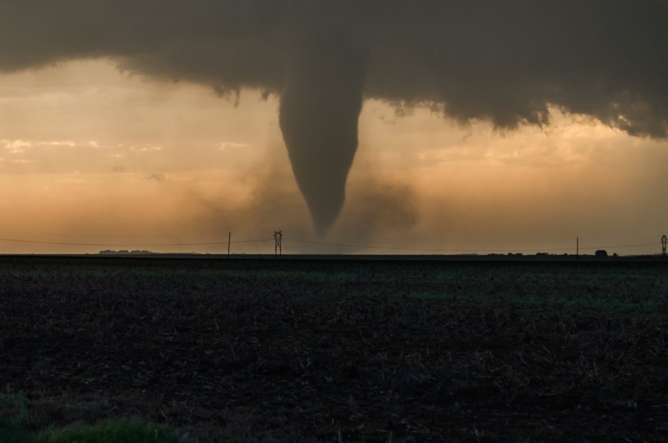
Some of these thunderstorms will be capable of producing tornadoes, as well as strong wind gusts up to 120 kilometres an hour, nickel to golf ball sized hail and locally heavy downpours.
Be prepared for severe weather. Take cover immediately, if threatening weather approaches.
In the event of a tornado, or if a tornado warning is issued for your area, it is recommended you take the following actions: Go indoors to a room on the lowest floor, away from outside walls and windows, such as a basement, bathroom, stairwell or interior closet. Leave mobile homes, vehicles, tents, trailers and other temporary or free-standing shelter, and move to a strong building if you can. As a last resort, lie in a low spot and protect your head from flying debris. Lightning kills and injures Canadians every year. Remember, when thunder roars, go indoors.
Tornado watches are issued when atmospheric conditions are favourable for the development of thunderstorms that could produce tornadoes.
Tornado watch in effect for:
- Fort Frances - Emo - Rainy River
- Kenora - Grassy Narrows - Whitedog
- Sioux Narrows - Nestor Falls - Morson
