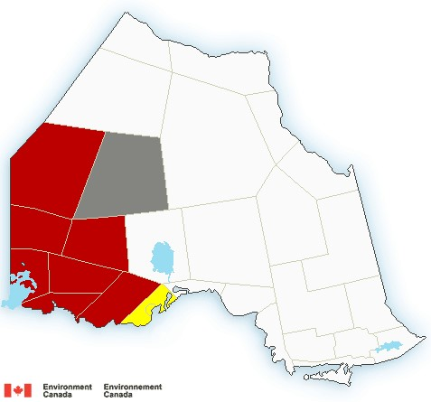
NORTHWESTERN ONTARIO - Environment Canada has tracked a line of severe thunderstorms capable of producing very strong wind gusts and up to nickel size hail.
This line of severe thunderstorms is located from 15 kilometres southeast of North Branch to Stanjikoming Bay, moving northeast at 85 km/h.
Report of 90 km/h wind gusts and nickel size hail.
Locations impacted in Fort Frances – Rainy Lake include:
Burditt Lake, Manomin, Lake Despair, Weld Lake, West Jackfish Lake, Jackfish Lake, Northwest Bay, Loonhaunt Lake, Kaiashkons Lake and Stanjikoming Bay.
Locations impacted include:
Sand Point Lake and Lac la Croix.
Large hail can damage property and cause injury. Strong wind gusts can toss loose objects, damage weak buildings, break branches off trees and overturn large vehicles. Remember, severe thunderstorms can produce tornadoes. Lightning kills and injures Canadians every year. Remember, when thunder roars, go indoors!
The Office of the Fire Marshal and Emergency Management recommends that you take cover immediately if threatening weather approaches.
A line of dangerous thunderstorms is forecast to move into Ontario early this evening, persist through the evening hours and weaken overnight. The main threats are damaging wind gusts up to 130 km/h and tornadoes.
Any tornadoes that do form will be fast-moving and likely wrapped in rain making them difficult to see.
This is a dangerous and potentially life-threatening situation.
Be prepared for severe weather. Take cover immediately, if threatening weather approaches.
In the event of a tornado, or if a tornado warning is issued for your area, it is recommended you take the following actions: Go indoors to a room on the lowest floor, away from outside walls and windows, such as a basement, bathroom, stairwell or interior closet. Leave mobile homes, vehicles, tents, trailers and other temporary or free-standing shelters, and move to a strong building if you can. As a last resort, lie in a low spot and protect your head from flying debris.
Tornado watches are issued when atmospheric conditions are favourable for the development of thunderstorms that could produce tornadoes.
Please continue to monitor alerts and forecasts issued by Environment Canada. To report severe weather, send an email to [email protected] or tweet reports using #ONStorm.
For more information: http://www.emergencymanagementontario.ca/english/beprepared/beprepared.html.
