NORTHWESTERN ONTARIO -- Environment Canada has issued a special weather statement for parts of the region.
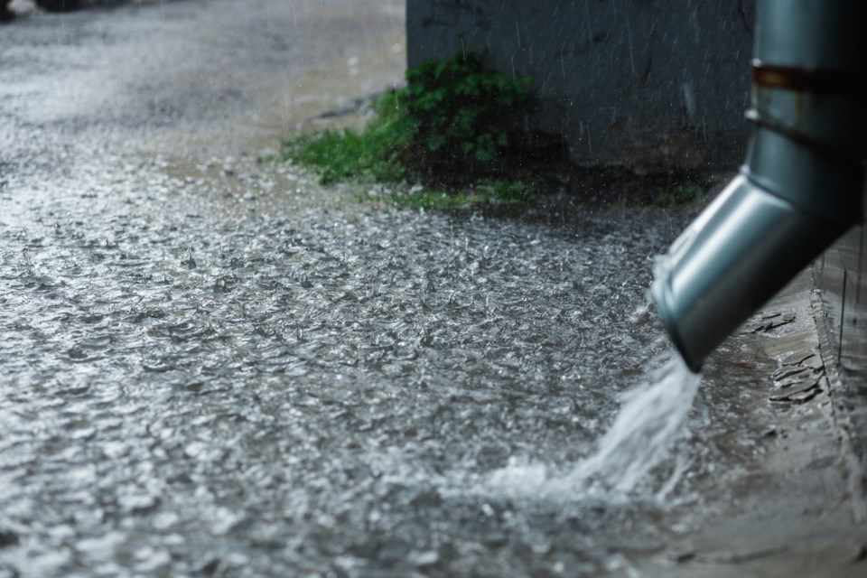
The government weather agency says potential for significant rainfall amounts Monday and Tuesday.
After showers and thunderstorms affected many regions on Sunday, additional rounds of precipitation are expected Monday.
Additional rainfall amounts of 10 to 25 millimetres are possible by Monday afternoon with locally higher amounts of 25 to 50 mm possible in thunderstorms.
Another round of precipitation is expected to move in from Minnesota Monday evening and will likely persist into Tuesday. Rainfall amounts in this second round of precipitation still remain uncertain, but an additional 20 to 40 mm seems possible at this stage, with higher amounts expected in thunderstorms.
There still remains uncertainty in precipitation timing and amounts.
Special weather statement in effect for:
- Kenora - Grassy Narrows - Whitedog
- Sioux Narrows - Nestor Falls - Morson
- Ear Falls - Perrault Falls - Western Lac Seul
- Red Lake - Woodland Caribou Park
- Savant Lake - Sturgeon Lake
- Sioux Lookout - Eastern Lac Seul
