NORTHWESTERN ONTARIO -- A snowfall warning remains in effect this morning for parts of the region.
Environment Canada says a strong low pressure system is expected to track over northwestern Ontario bringing a couple of days of heavy snow mixed with rain and ice pellets starting Wednesday morning into Thursday afternoon.
Snow mixed with rain and ice pellets is forecast to continue Wednesday before changing to snow Thursday evening. The heaviest snow is expected to fall tonight.
Snow is expected to taper to light snow Thursday morning and continue through Thursday and into Friday morning.
The government weather agency says some areas could see total snowfall accumulations of up to 45 centimetres.
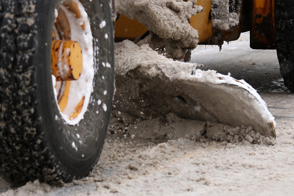
Be prepared to adjust your driving with changing road conditions. Surfaces such as highways, roads, walkways and parking lots may become difficult to navigate due to accumulating snow. If visibility is reduced while driving, turn on your lights and maintain a safe following distance.
Snowfall warning in effect for:
- Atikokan - Shebandowan - Quetico Park
- Upsala - Raith
- Dryden - Vermilion Bay
- Ignace - English River
- Seine River Village - Mine Centre
- Kenora - Grassy Narrows - Whitedog
- Sioux Narrows - Nestor Falls - Morson
- Ear Falls - Perrault Falls - Western Lac Seul
- Red Lake - Woodland Caribou Park
- Sandy Lake - Weagamow Lake - Deer Lake
- Savant Lake - Sturgeon Lake
- Sioux Lookout - Eastern Lac Seul
