THUNDER BAY — The organizers of an ambitious plan to build a network of over 400 kilometres of free-to-use hiking trails are now seeing their work recognized online by the Trans Canada Trail.
The Shabaqua Trail – the first phase of the Northwestern Ontario Recreational Trails Association's multi-year project – has been added to the national trail network's interpretive map.
NWORTA president Len Day said it's an important milestone for all the volunteers working on the project.
"With the recent granting of affiliation with the TCT, they've taken the GPS coordinates of our Shabaqua Trail and transferred that to their map, which of course is accessible to anybody with online access. The beauty of that is from their map you can download the GPS coordinates and find out what to expect in terms of elevations and that sort of thing."
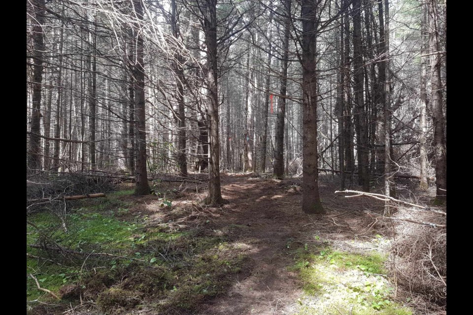
The trail, which will be opened officially later this year, runs between Highway 590 in the Kakabeka Falls area and Shabaqua.
"We still have some signage to do, and we still have some trailblazer markers to get up. But it's pretty much operational right now. We just have to get in there in late spring or early summer to kind of finalize the route," Day said.
The Trans Canada Trail website includes a description of the route: The natural environment of the trail is a mix of new greenway trail, reclaimed unused logging roads, with some gravel roads. The resulting remoteness and rugged terrain provides heightened potential wilderness interactions with moose, bear, deer, bald eagles, hawks, etc. Elevations are moderate and gradually rise from 300 metres to 500 metres above sea level from east to west. Undesignated camping options with water access abound along the route as it lies mostly on public (Crown) lands.
Elevation is a noteworthy feature of the route, as at the halfway mark hikers may be surprised to find they are 100 metres higher than Mount McKay.
NWORTA has had some success raising funds to continue its multi-phase project, the next part of which will be a trail from Fort William Historical Park to Kakabeka Falls.
Future routes will connect the Shabaqua Trail to the U.S. border at Pigeon River; Thunder Bay to Nipigon; and Shabaqua to Quetico and Atikokan.
