NORTHWESTERN ONTARIO -- Environment Canada has issued a severe thunderstorm watch for parts of the region.
The weather agency says conditions are favourable for the development of severe thunderstorms that may be capable of producing strong wind gusts up to 90 kilometres an hour, nickel to toonie sized hail and locally heavy downpours.
These conditions are expected late Friday morning.
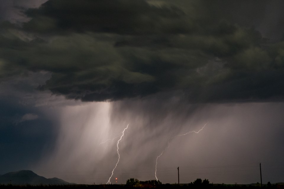
Large hail can damage property and cause injury. Strong wind gusts can toss loose objects, damage weak buildings, break branches off trees and overturn large vehicles. Heavy downpours can cause flash floods and water pooling on roads. Lightning kills and injures Canadians every year. Remember, when thunder roars, go indoors.
Severe thunderstorm watches are issued when atmospheric conditions are favourable for the development of thunderstorms that could produce one or more of the following: large hail, damaging winds, torrential rainfall.
Severe thunderstorm watch in effect for:
- Fort Frances - Emo - Rainy River
- Sioux Narrows - Nestor Falls - Morson
- Atikokan - Shebandowan - Quetico Park
- Upsala - Raith
- Dryden - Vermilion Bay
- Ignace - English River
- Seine River Village - Mine Centre
- Ear Falls - Perrault Falls - Western Lac Seul
- Red Lake - Woodland Caribou Park
- Savant Lake - Sturgeon Lake
- Sioux Lookout - Eastern Lac Seul
