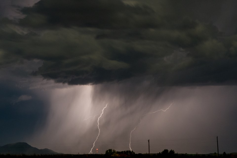
NORTHWESTERN ONTARIO -- Environment Canada has issued a severe thunderstorm warning for parts of the region.
The government weather agency says a line of strong thunderstorms are expected to move into the region early Tuesday morning.
Locally heavy downpours and large hail are the main threats with these thunderstorms.
Very large hail can damage property, break windows, dent vehicles and cause serious injury. Heavy downpours can cause flash floods and water pooling on roads. Lightning kills and injures Canadians every year. Remember, when thunder roars, go indoors.
Severe thunderstorm watches are issued when atmospheric conditions are favourable for the development of thunderstorms that could produce one or more of the following: large hail, damaging winds, torrential rainfall.
Severe thunderstorm watch in effect for:
- Fort Frances - Emo - Rainy River
- Kenora - Grassy Narrows - Whitedog
- Sioux Narrows - Nestor Falls - Morson
- Red Lake - Woodland Caribou Park
