If you thought the warm temperatures this weekend were higher than you remember for this time of year, you were right.
In fact, according to Environment Canada many communities across the Northwest hit record high temperatures this weekend.
Warning preparedness meteorologist Geoff Coulson said a few communities set new daytime high records starting on Saturday, including Atikokan, which got up to 5.6 C to break the old record of 3 C set back in 2002, and Upsala got up to 2 C beating the old record of 1.9 C, set in 2005.
“And then on Sunday we had high temperature records set at a variety of locations right across the Northwest, including Armstrong, Atikokan, Dryden, Fort Frances, Kenora, Sioux Lookout, Upsala and Thunder Bay,” he said. “Some sites setting records only by a fraction of a degree. Other sites setting record by a few degrees.”
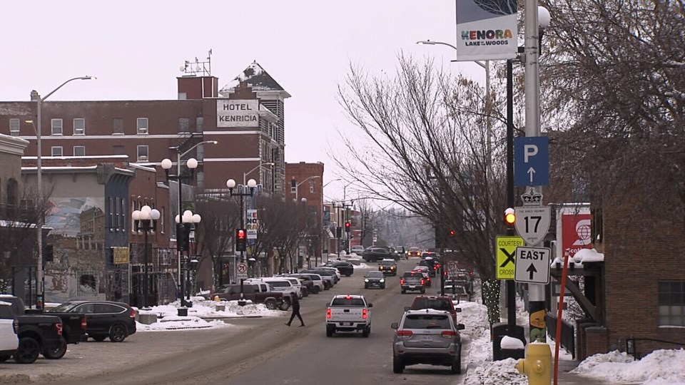
Coulson said Kenora got up to 2.6 C beating the old record of 1.7 C set back in 1935, Dryden got up to 4.8 C beating the old record of 3.3 C, set back in 1934, and Armstrong got up to 0.8 C in the daytime high beating the old record of 0.6 C back in 1941.
He said most of the weather records were mainly set in areas to the west and northwest of Lake Superior, except for Terrace Bay, which got up to 3.7 C and broke a temperature high of 2.8 C set back in 1957.
Coulson said a large-scale flow pattern in the atmosphere allowed these record temperatures to occur.
“Coming up from the American deep south through the American Midwest, up into Minnesota and then into Northwestern Ontario,” he said.
He said the region is past the coldest part of the year which is usually mid-January to early February and should expect mild temperatures over the next couple of days, but then a return to more seasonal temperatures
“Maybe even a little bit colder than seasonal towards the end of the work week. But even that return to colder temperatures isn't expected to last and we're right back into seasonal or even somewhat milder than seasonal conditions as we head into the weekend,” he said.
As for precipitation, Coulson said they have been tracking a system from the Colorado area.
“We are expecting that system to move into northwestern Ontario, Tuesday and Wednesday,” he said. “It looks like a notable snowfall event will occur from late Tuesday to late Wednesday, anywhere from Fort Frances. Ignace, Atikokan generally areas just to the west of Thunder Bay and to the east of Kenora and Dryden.”
He added the system should also bring notable snowfall amounts to the Greenstone area and along the north shore of Lake Superior.
“So still very much a lot of winter weather yet to go,” he said.
