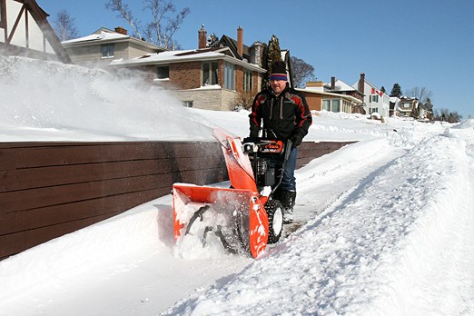
SUPERIOR NORTH – A major winter storm could be headed for the region, bringing up to 20 centimetres of snow Wednesday into Friday.
According to Environment Canada, a strong low pressure system is expected to track over northwestern Ontario, bringing a couple of days of heavy snow and blowing snow.
Freezing rain is also possible Wednesday night and Thursday morning.
The government weather agency says snow is expected to begin Wednesday afternoon and continue through Thursday into Friday morning
Snow may be mixed with ice pellets at times.
Total snowfall amounts in excess of 20 centimetres are possible with the heaviest snow falling Wednesday night and Thursday.
Kenora - Nestor Falls, Red Lake - Ear Falls and Sandy Lake - Pikangikum areas could see up to 40 centimetres of snow.
There is considerable uncertainty in the exact track of this low pressure system and total snowfall and freezing rain amounts as a result.
Special weather statement in effect for:
- Ignace - English River
- Seine River Village - Mine Centre
- Atikokan - Shebandowan - Quetico Park
- Upsala - Raith
- Kenora - Grassy Narrows - Whitedog
- Sioux Narrows - Nestor Falls - Morson
- Ear Falls - Perrault Falls - Western Lac Seul
- Red Lake - Woodland Caribou Park
- Sandy Lake - Weagamow Lake - Deer Lake
