NORTHERWESTERN ONTARIO -- Environment Canada has issued a winter storm warning for parts of the region.
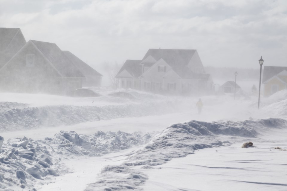
The government weather agency said a strong low pressure system is expected to track over northwestern Ontario bringing a couple days of heavy snow and blowing snow starting Wednesday morning and continuing into Friday morning.
There is the potential that heavy snow and blowing snow could continue into Friday afternoon. The heaviest snow is expected to fall Wednesday night and Thursday.
Total snowfall accumulations of 30 to 50 centimetres of snow is expected with strong wind gusts of up to 70 kilometres an hour, leading to widespread blowing snow.
Power outages as well as damage to trees are possible.
As the event draws nearer blizzard warnings may be considered if widespread visibilities are expected to be reduced to less than 400 m due to snow and blowing snow for an extended period of time.
Winter storm warning in effect for:
- Dryden - Vermilion Bay
- Fort Frances - Emo - Rainy River
- Kenora - Grassy Narrows - Whitedog
- Sioux Narrows - Nestor Falls - Morson
- Ear Falls - Perrault Falls - Western Lac Seul
- Red Lake - Woodland Caribou Park
- Pikangikum - Poplar Hill - MacDowell
- Sioux Lookout - Eastern Lac Seul
