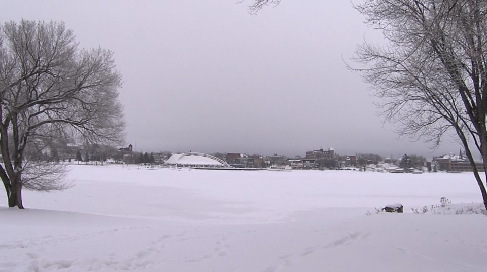
The Northwest had less snowfall in February than normal, according to Environment Canada.
Warning preparedness meteorologist Geoff Coulson said Kenora had 11.2 centimetres reported for the month, with the long-term average being 18.6 centimetres.
“[There was] even less snow up in Sioux Lookout and the Dryden area, it came in with two to three centimetres, of snow for the month and their normal’s more like 22-23 centimetres of snow for the long term average,” he said.
Fort Frances and areas closer to the international border had a little bit more in the way of snowfall, he said.
“They had about 11.5 centimetres and their long-term average is 22 centimetres,” Coulson said.
Coulson said he took a look back in the record to see when the last time there was such a small amount of snowfall and only had to go back a couple of years.
“There was actually even less snow back in February of 2021 both in Sioux Lookout and Dryden,” he said.
Coulson said temperatures for February ended up close to seasonal in much of the Northwest after bouncing around a fair amount between chilly days and milder ones during the first part of the month.
“As we got into the second half of February, most areas ended up being around seasonal temperatures, maybe even a little colder than seasonal,” he said.
“What that meant for the overall average temperatures that most places ended up pretty close to the long-term average with respect to temperature, that trend seemed to be showing up pretty much in Kenora, Sioux Lookout, Dryden and Fort Frances.”
He said reasons for variations in temperature trends for February include having arctic air settle over the area, which can bring a prolonged period of colder conditions, and systems from the west which bring somewhat milder conditions.
“It isn't all that unheard of to see these types of variations in the month of February. It's a month where we can see a fair amount of differences between temperature trends,” he said.
“Sometimes these trends can last for a number of days, other times just a few days here and there, so certainly [temperature variations we see within] this month is something that we've seen before and will likely see again.”
Coulson said most of the areas will get a cold start to March.
“It’s going to be a chilly night overnight [Wednesday] in many areas in the Northwest, but we do see temperatures moderate pretty quickly back to seasonal values or even somewhat milder than seasonal values for the rest of this first week of the month,” he said.
“However after that as we get to March 8-9, and approach the middle of the month, a number of the models are indicating a shift to somewhat colder than normal conditions and that overall trend to being cold to the normal could likely extend towards the end of the month.”
He said it’s important to note by the middle of March, the long-term average temperatures start to moderate as well.
“So by mid- month in many areas, normal daytime high -1 C normal overnight low, - 11 C to - 12 C, so saying colder than normal doesn't necessarily mean to return back to – 30 C or – 35 C for those overnight lows.”
