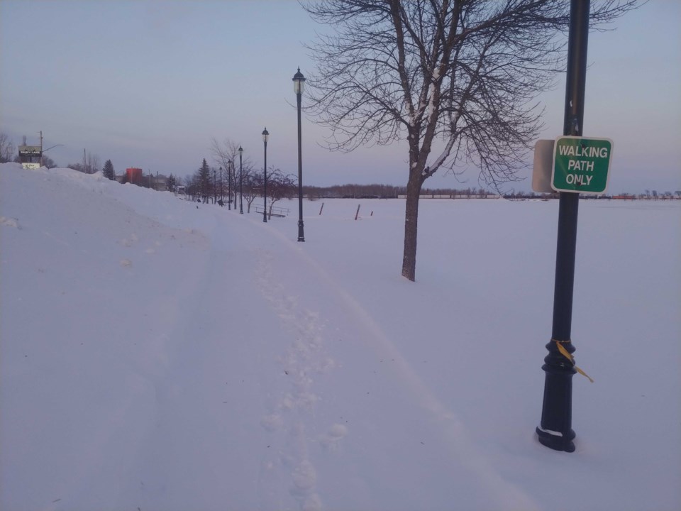
Northwestern Ontario is returning to real winter like conditions with temperature drop expected by the weekend.
Geoff Coulson, a warning, preparedness meteorologist with Environment Canada, said temperatures in Kenora, Sioux Lookout, Dryden and Fort Frances have been much milder than they normally are for the coldest month of the year.
“But that's all coming to an end with the change in the weather pattern expected to begin the end of this week through this weekend,” he said. “Probably well into the month of February bringing with it literally cold arctic air. Much, much colder than normal air for the whole area again, starting in the next few days and likely lasting for a good part of the month of February."
He said in Sioux Lookout the normal daytime high for this time of year is around -12 C, and the normal overnight low is -23 C.
“As we get into the weekend, daytime highs are going to struggle to get to -22 C. Overnight lows that could drop below -35 C,” he said.
The cold air comes from a mass of arctic air sitting over the Far North right now, Coulson said
“It's been pretty much well to the north of the area for a good part of the month of January, but now it does look like it's starting to break out and make a southward progression,” he said. “The impacts from this very cold arctic air mass, not just going to be felt in parts of Northwestern Ontario, but [also the Prairies and B.C.].”
Coulson said some of these intrusions can only last for a matter of days, but if the weather pattern is relatively stable, the cold air can linger for a number of days.
“As I look at some of the longer range forecasts taking us through the last couple of days of January and well into the first week and beyond for the month of February, this cold pattern does seem to be very stubborn and it looks like it will be quite long lasting four parts of Northwestern Ontario,” he said.
Coulson said cold arctic air masses tend to be very dry, which means we tend to see a long period of sunny skies as well.
“So after a quick Alberta clipper moves through late Thursday and into the day on Friday leaving a few centimetres of accumulation for Northwestern Ontario, the cold air locks in behind that system and it looks like a fairly long stretch of not only the very cold conditions, but also fairly sunny conditions.”
