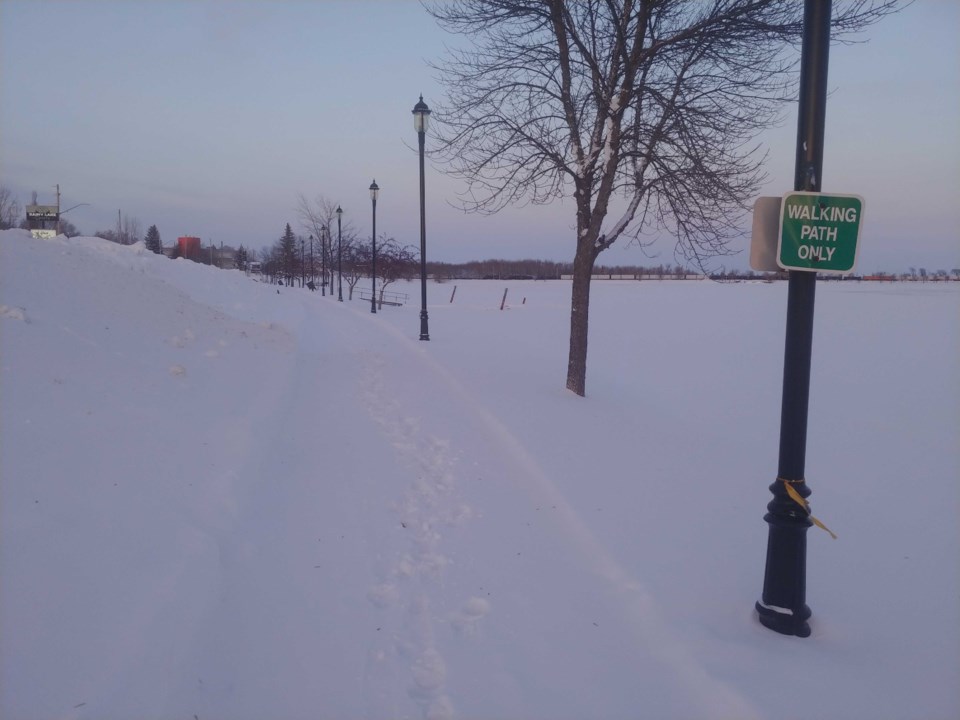
Environment Canada said people in Fort Frances, Dryden, Kenora should expect a sunny, but cold Christmas weekend.
Meteorologist Steven Flisfeder said the region won’t experience the full brunt of the large storm affecting the east coast of North America.
“Areas closer to the Manitoba border are really on the extreme western edge of the impacts associated with the large storm,” he said.,
“So while Thunder Bay is on the western edge of this storm, further west towards Dryden and even beyond getting closer to the Manitoba border, they're still going to be seeing snow from this, [but] amounts will be significantly less than what's expected for the Thunder Bay area and the region of Thunder Bay as well.”
Flisfeder said the region can expect 10 to 20 centimetres over the course of the next couple of days.
Driving conditions are still potentially difficult as you head west he said.
He said temperatures will stay in the minus double digits through the rest of the weekend.
“Once you start to get into that clearing from the storm, it will become sunnier. So you will start to see the sun as the weekend progresses,” he said.
But temperatures are still going to be around the -10 C to -15 C range during the daytime, he said, with overnights looking to go below -20 C.
“As you add those winds, [You’re] looking at wind chills in the minus thirties,” he said.
