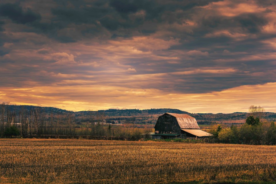
Today's image is from Paul Ruebsam.
Got a Story idea? Send it here. Got a Good Morning Photo to Share? Send it here.
Fort Frances
| Mainly cloudy. Risk of freezing rain in the morning and early in the afternoon. Wind southwest 20 km/h gusting to 40 becoming light early in the afternoon. High plus 2. Wind chill minus 14 in the morning. UV index 1 or low. |
Atikokan
| Cloudy. 60 percent chance of flurries or ice pellets in the morning and early in the afternoon with risk of freezing rain. Wind becoming southwest 20 km/h gusting to 40 in the morning then light in the afternoon. High plus 2. Wind chill minus 14 in the morning. |
Ignace
| Cloudy. 60 percent chance of flurries or ice pellets in the morning and early in the afternoon with risk of freezing rain. Wind south 30 km/h gusting to 50 becoming light in the afternoon. High plus 1. Wind chill minus 13 in the morning. |
Dryden
| Cloudy. Risk of freezing rain in the morning and early in the afternoon. Wind south 20 km/h gusting to 40 becoming light near noon. High plus 1. Wind chill minus 13 in the morning. |
Kenora
| Mainly cloudy. Risk of freezing rain in the morning and early in the afternoon. Wind south 20 km/h becoming light late in the morning. High plus 2. Wind chill minus 10 in the morning. |
Red Lake
| Mainly cloudy. 60 percent chance of flurries or ice pellets in the morning and early in the afternoon with risk of freezing rain. Wind south 20 km/h becoming light early in the afternoon. High plus 1. Wind chill minus 10 in the morning. |
Sioux Lookout
| Cloudy. 60 percent chance of flurries or ice pellets in the morning and early in the afternoon with risk of freezing rain. Wind becoming south 20 km/h gusting to 40 in the morning then light in the afternoon. High plus 1. Wind chill minus 11 in the morning. |
