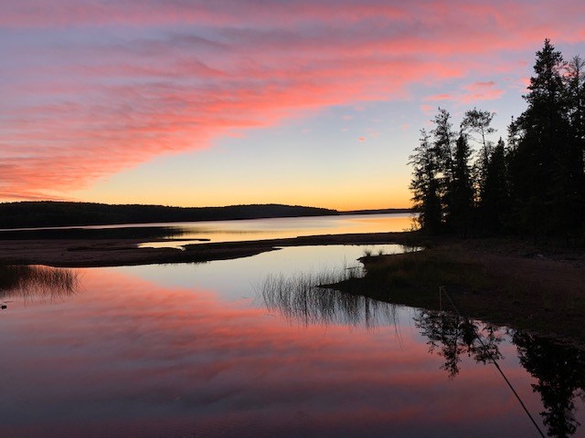
Today's image is from Gigi Bachynski.
Got a Story idea? Send it here. Got a Good Morning Photo to Share? Send it here.
Fort Frances
| Snow ending late in the morning then cloudy with 60 percent chance of flurries. Local amount 5 cm. Wind becoming northwest 20 km/h late in the morning. High plus 3. |
Atikokan
| Periods of rain mixed with snow ending near noon then cloudy with 60 percent chance of flurries or rain showers. High plus 2. |
Ignace
| Snow ending in the afternoon then cloudy with 60 percent chance of flurries. Amount 5 to 10 cm. Wind up to 15 km/h. Temperature steady near zero. Wind chill minus 5 in the morning. |
Dryden
| Snow at times heavy ending early in the afternoon then cloudy with 60 percent chance of flurries. Amount 5 to 10 cm. Wind becoming northwest 20 km/h late in the morning. Temperature steady near zero. |
Kenora
| Snow ending early in the afternoon then cloudy with 60 percent chance of flurries. Amount 5 cm. Wind becoming north 20 km/h in the morning. Temperature steady near zero. Wind chill minus 7 in the morning. |
Red Lake
| Snow ending near noon then cloudy with 60 percent chance of flurries. Local amount 5 cm. Wind becoming north 20 km/h in the morning. Temperature steady near zero. Wind chill minus 8 in the morning. |
Sioux Lookout
| Snow at times heavy ending in the afternoon then cloudy with 60 percent chance of flurries. Amount 10 to 15 cm. Wind becoming northwest 20 km/h late in the afternoon. Temperature steady near zero. Wind chill minus 6 in the morning. |
