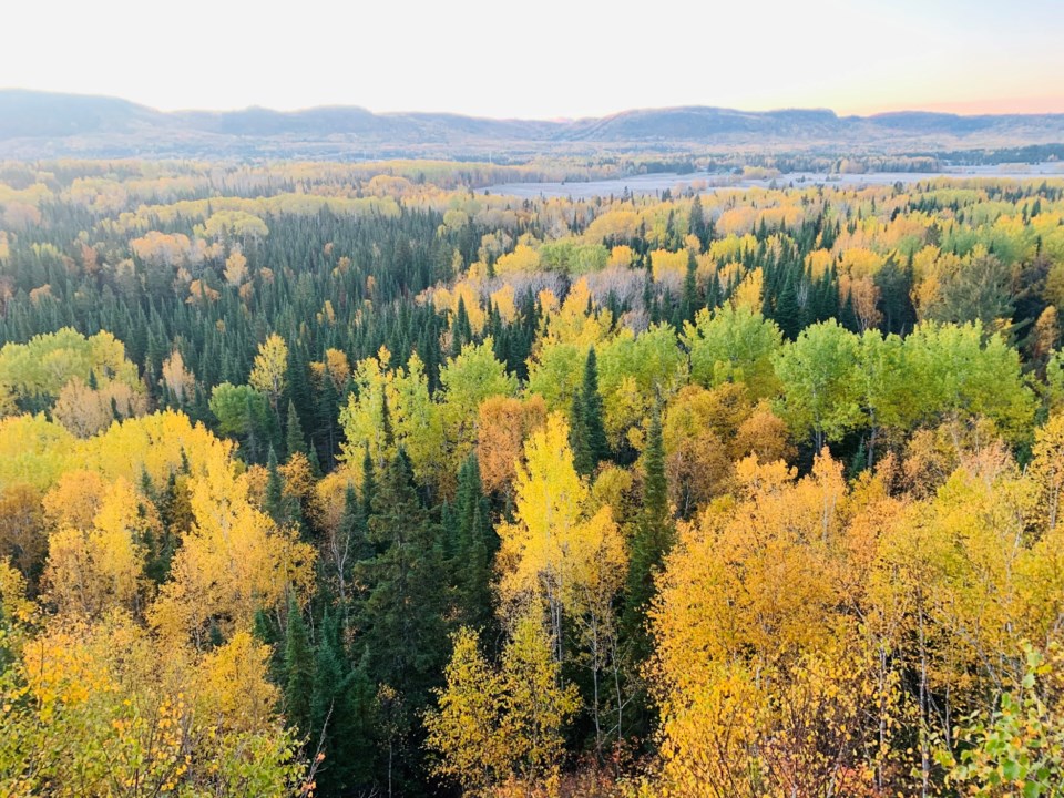
Today's image is from Katie Salminen
Got a Story idea? Send it here. Got a Good Morning Photo to Share? Send it here.
Fort Frances
| Snow at times heavy and local blowing snow. Amount 10 to 20 cm. Wind northeast 30 km/h gusting to 50 becoming light late in the afternoon. High minus 4. Wind chill minus 16 in the morning and minus 8 in the afternoon. UV index 1 or low. |
Atikokan
| Snow at times heavy mixed with ice pellets changing to ice pellets mixed with snow at times heavy in the morning. Risk of freezing rain in the morning. Wind east 30 km/h gusting to 50. High minus 4. Wind chill minus 17 in the morning and minus 8 in the afternoon. UV index 1 or low. |
Ignace
| Snow at times heavy and local blowing snow. Amount 10 to 20 cm. Wind northeast 40 km/h gusting to 60 diminishing to 20 gusting to 40 near noon. High minus 6. Wind chill minus 21 in the morning and minus 11 in the afternoon. UV index 1 or low. |
Dryden
| Snow at times heavy and local blowing snow. Amount 10 to 20 cm. Wind northeast 30 km/h gusting to 50. High minus 6. Wind chill minus 18 in the morning and minus 13 in the afternoon. UV index 1 or low. |
Kenora
| Snow at times heavy and local blowing snow. Amount 10 to 20 cm. Wind northeast 30 km/h gusting to 50. High minus 4. Wind chill minus 18 in the morning and minus 10 in the afternoon. UV index 1 or low. |
Red Lake
| Snow at times heavy and local blowing snow. Amount 10 to 20 cm. Wind becoming northeast 30 km/h gusting to 50 in the morning. High minus 5. Wind chill minus 18 in the morning and minus 12 in the afternoon. UV index 1 or low. |
Sioux Lookout
| Snow at times heavy and local blowing snow. Amount 10 to 20 cm. Wind east 20 km/h gusting to 40 becoming northeast 40 gusting to 60 in the morning. High minus 6. Wind chill minus 21 in the morning and minus 13 in the afternoon. UV index 1 or low. |
