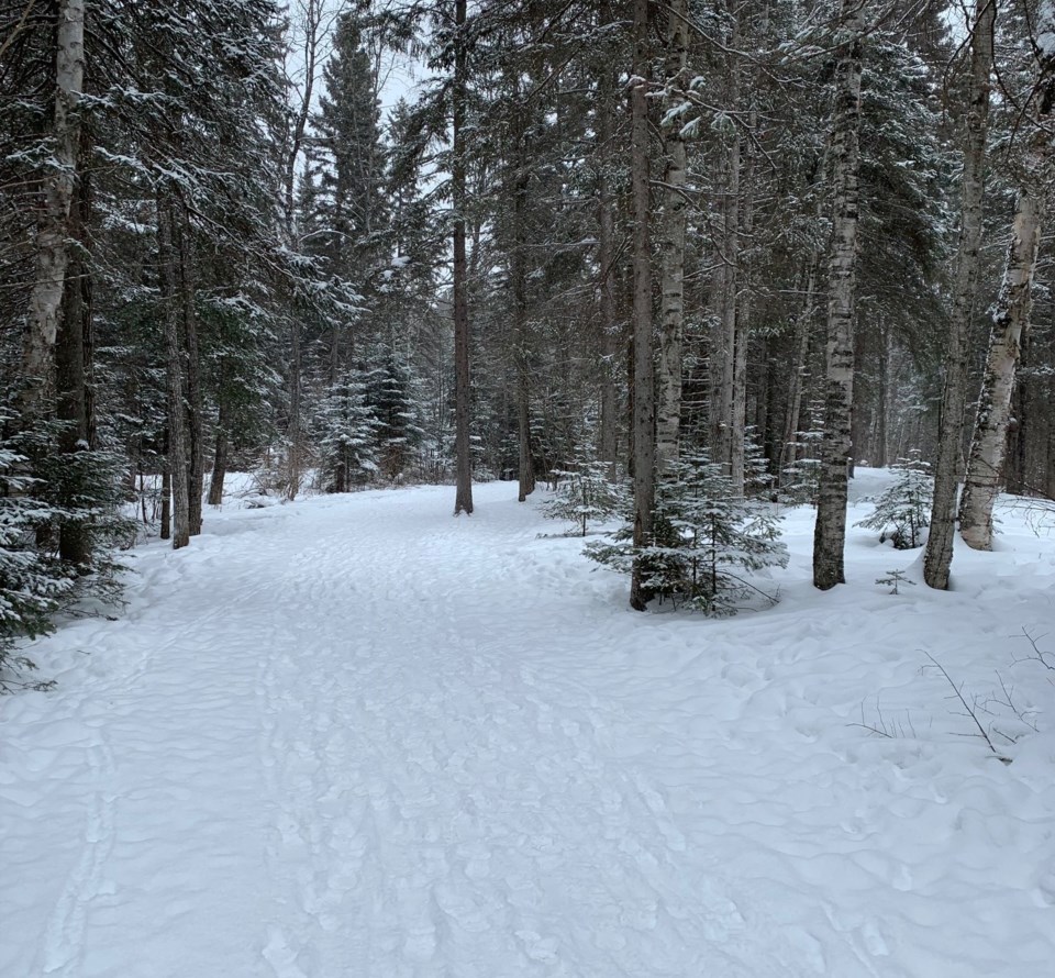
Today's image is from Cathy Lapointe
Got a Story idea? Send it here. Got a Good Morning Photo to Share? Send it here.
Fort Frances
| Snow. Amount 2 to 4 cm. Wind up to 15 km/h. High zero. Wind chill minus 7 in the morning. UV index 1 or low. |
Atikokan
| Periods of snow becoming mixed with a few rain showers in the afternoon. Snowfall amount 5 cm. Wind up to 15 km/h. High plus 2. Wind chill minus 8 in the morning. UV index 1 or low. |
Ignace
| Periods of snow becoming mixed with a few rain showers in the afternoon. Snowfall amount 5 cm. Wind up to 15 km/h. High plus 1. Wind chill minus 14 in the morning. UV index 1 or low. |
Dryden
| Snow. Amount 2 to 4 cm. Wind up to 15 km/h. High zero. Wind chill minus 14 in the morning. UV index 1 or low. |
Kenora
| Periods of snow. Amount 2 to 4 cm. Wind becoming northwest 20 km/h late in the afternoon. High minus 2. Wind chill minus 13 in the morning and minus 7 in the afternoon. UV index 1 or low. |
Red Lake
| Snow. Amount 5 cm. Wind up to 15 km/h. High minus 4. Wind chill minus 17 in the morning and minus 9 in the afternoon. UV index 1 or low. |
Sioux Lookout
| Snow. Amount 5 to 10 cm. Wind up to 15 km/h. High minus 2. Wind chill minus 16 in the morning and minus 6 in the afternoon. UV index 1 or low. |
