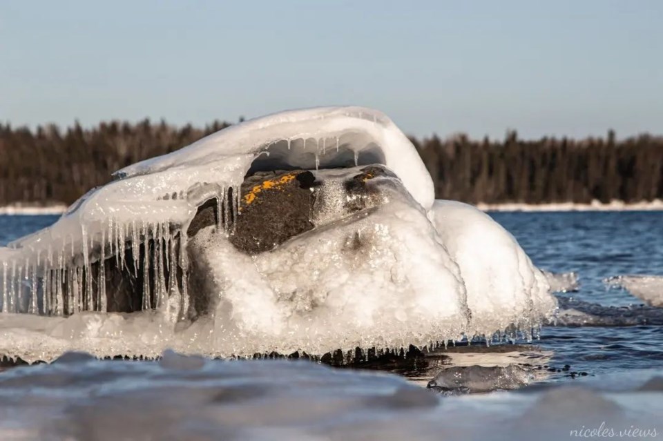
Today's image is from Nicoles Views
Got a Story idea? Send it here. Got a Good Morning Photo to Share? Send it here.
Fort Frances
| Periods of snow. Amount 2 to 4 cm. Wind east 20 km/h becoming light in the morning. High plus 1. Wind chill minus 10 in the morning. UV index 1 or low. |
Atikokan
| Mainly cloudy with 40 percent chance of flurries. Wind becoming southeast 20 km/h in the morning. High plus 1. Wind chill minus 12 in the morning. UV index 2 or low. |
Ignace
| Cloudy. 40 percent chance of flurries in the morning. Periods of snow beginning in the morning. Local amount 2 cm. Wind becoming east 20 km/h in the afternoon. High minus 1. Wind chill minus 14 in the morning and minus 5 in the afternoon. UV index 1 or low. |
Dryden
| Snow. Amount 2 to 4 cm. Wind up to 15 km/h. High minus 1. Wind chill minus 14 in the morning and minus 5 in the afternoon. UV index 1 or low. |
Kenora
| Snow. Amount 2 to 4 cm. Wind up to 15 km/h. High zero. Wind chill minus 14 in the morning. UV index 1 or low. |
Red Lake
| Mainly cloudy. 40 percent chance of flurries in the morning. Snow beginning in the morning. Amount 2 cm. Wind becoming east 20 km/h in the morning. High minus 5. Wind chill minus 20 in the morning and minus 12 in the afternoon. UV index 1 or low. |
Sioux Lookout
| Cloudy. 40 percent chance of flurries in the morning. Snow beginning in the morning. Amount 2 cm. Wind becoming east 20 km/h in the morning. High minus 4. Wind chill minus 19 in the morning and minus 8 in the afternoon. UV index 1 or low. |
