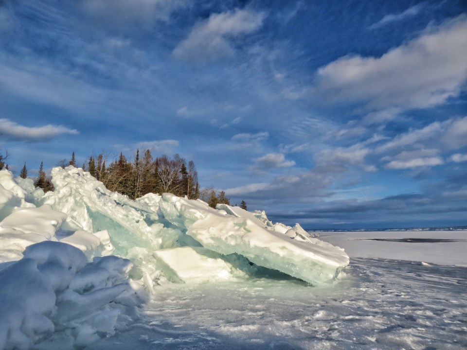
Today's image is from Joan Berezowski
Got a Story idea? Send it here. Got a Good Morning Photo to Share? Send it here.
Fort Frances
| Periods of light snow ending early in the morning then a mix of sun and cloud with 40 percent chance of flurries. Wind becoming northwest 20 km/h early in the afternoon. High zero. Wind chill minus 3 in the morning and minus 8 in the afternoon. UV index 2 or low. |
Atikokan
| Periods of light snow. Risk of freezing drizzle in the morning. Fog patches dissipating in the morning. Wind becoming north 20 km/h early in the afternoon. High plus 1. Wind chill minus 6 in the morning. |
Ignace
| Mainly cloudy. 60 percent chance of flurries early in the morning. Periods of light snow beginning in the morning. Risk of freezing drizzle early in the morning. Wind becoming north 20 km/h early in the afternoon. High minus 1. Wind chill minus 3 in the morning and minus 9 in the afternoon. |
Dryden
| Periods of light snow ending early in the morning then a mix of sun and cloud with 40 percent chance of flurries. Wind north 20 km/h. High minus 2. Wind chill minus 6 in the morning and minus 14 in the afternoon. UV index 1 or low. |
Kenora
| Periods of light snow ending early in the morning then a mix of sun and cloud with 40 percent chance of flurries. Wind north 20 km/h. Temperature falling to minus 8 in the afternoon. Wind chill minus 7 in the morning and minus 14 in the afternoon. UV index 1 or low. |
Red Lake
| Mainly cloudy with 40 percent chance of flurries. Wind becoming north 20 km/h early in the afternoon. High minus 3. Wind chill minus 8 in the morning and minus 16 in the afternoon. UV index 1 or low. |
Sioux Lookout
| Mainly cloudy with 40 percent chance of flurries. Wind becoming north 20 km/h late in the afternoon. High minus 2. Wind chill minus 6 in the morning and minus 11 in the afternoon. UV index 1 or low. |
