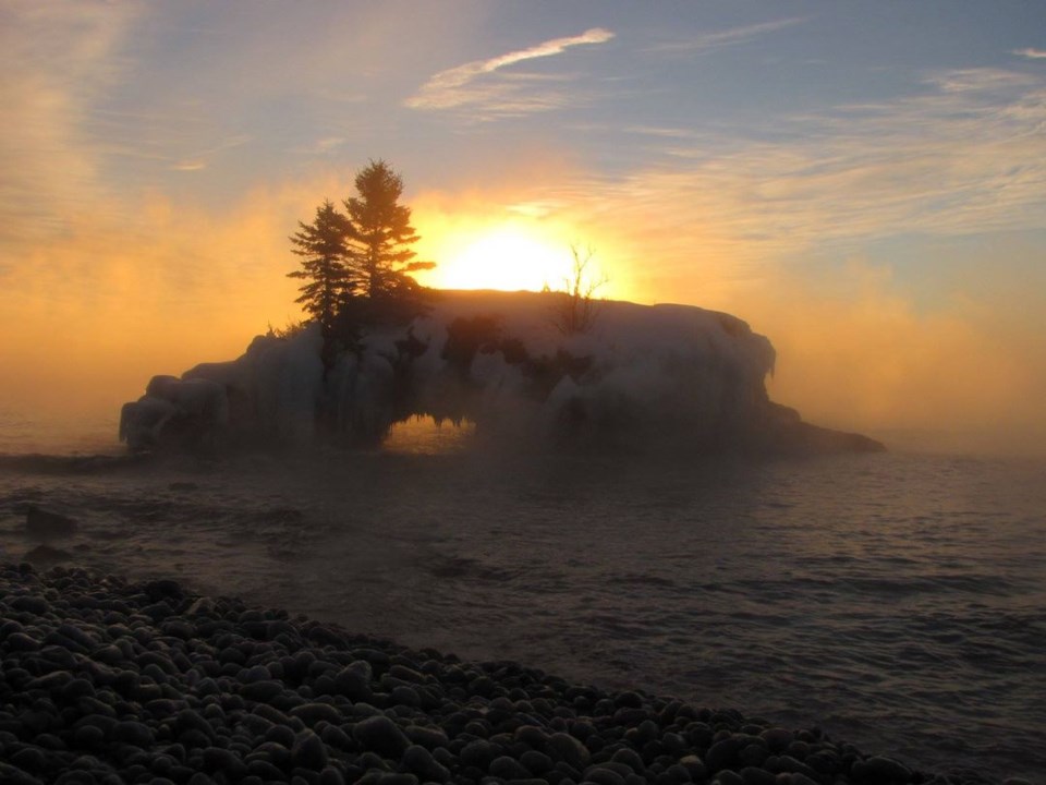
Today's image is from Penny Swire.
Got a Story idea? Send it here. Got a Good Morning Photo to Share? Send it here.
Fort Frances
| Cloudy. 60 percent chance of flurries in the morning. Risk of freezing drizzle early in the morning. Wind north 20 km/h becoming light near noon. High minus 1. Wind chill minus 10 in the morning and minus 5 in the afternoon. |
Atikokan
| Periods of snow ending in the afternoon then cloudy with 30 percent chance of flurries. Risk of freezing drizzle early in the morning. Amount 2 to 4 cm. Wind becoming north 20 km/h in the morning. High minus 1. Wind chill near minus 10. |
Ignace
| Periods of light snow ending early in the afternoon then cloudy with 30 percent chance of flurries. Risk of freezing drizzle early in the morning. Amount 2 cm. Wind north 20 km/h becoming light in the afternoon. Temperature steady near minus 4. Wind chill near minus 11. |
Dryden
| Cloudy. 70 percent chance of light snow early in the morning then 30 percent chance of flurries late in the morning. Risk of freezing drizzle early in the morning. Wind north 20 km/h becoming light in the afternoon. Temperature steady near minus 4. Wind chill near minus 12. |
Kenora
| Cloudy. 30 percent chance of flurries early in the morning. Wind north 20 km/h becoming light in the morning. Temperature steady near minus 5. Wind chill near minus 13. |
Red Lake
| Cloudy. 30 percent chance of flurries early in the morning. Wind up to 15 km/h. High minus 8. Wind chill near minus 17. |
Sioux Lookout
| Cloudy. 70 percent chance of light snow early in the morning then 30 percent chance of flurries late in the morning. Risk of freezing drizzle early in the morning. Wind north 20 km/h becoming light in the afternoon. Temperature steady near minus 7. Wind chill near minus 15. |
