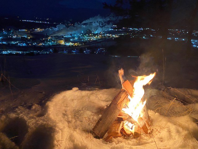
Today's image is from Pauline Hainey.
Got a Story idea? Send it here. Got a Good Morning Photo to Share? Send it here.
Fort Frances
| Periods of light snow ending in the afternoon then cloudy with 40 percent chance of flurries. Local blowing snow. Amount 2 cm. Wind west 20 km/h gusting to 50 becoming northwest 40 gusting to 60 in the morning. High minus 7. Wind chill near minus 19. |
Atikokan
| Periods of light snow ending in the afternoon then cloudy with 40 percent chance of flurries. Local blowing snow. Wind west 20 km/h gusting to 50 becoming northwest 40 gusting to 60 in the morning. High minus 6. Wind chill minus 18 in the morning and minus 13 in the afternoon. |
Ignace
| Periods of light snow ending in the afternoon then cloudy with 40 percent chance of flurries. Local blowing snow. Wind west 20 km/h gusting to 50 becoming northwest 40 gusting to 60 in the morning. High minus 7. Wind chill near minus 18. |
Dryden
| Periods of light snow ending in the afternoon then cloudy with 40 percent chance of flurries. Local blowing snow. Wind northwest 40 km/h gusting to 60. High minus 8. Wind chill near minus 20. |
Kenora
| Periods of light snow ending in the afternoon then cloudy with 40 percent chance of flurries. Local blowing snow. Amount 2 cm. Wind northwest 40 km/h gusting to 60. High minus 9. Wind chill near minus 20. |
Red Lake
| Periods of light snow ending in the afternoon then mainly cloudy with 40 percent chance of flurries. Local blowing snow. Amount 2 cm. Wind northwest 40 km/h gusting to 60. High minus 9. Wind chill near minus 21. |
Sioux Lookout
| Periods of light snow and local blowing snow. Wind northwest 40 km/h gusting to 60. High minus 8. Wind chill near minus 19. |
