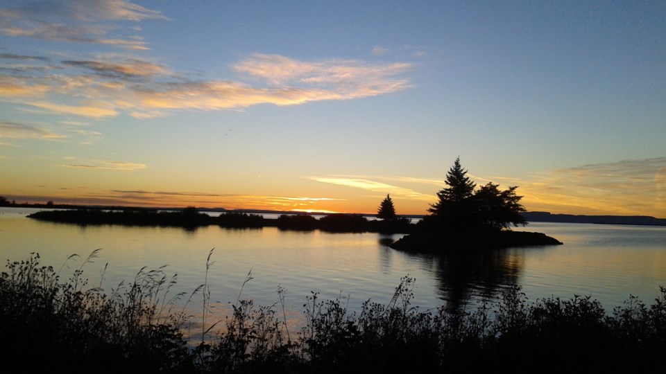
Today's image is from Luba Steblynski.
Got a Story idea? Send it here. Got a Good Morning Photo to Share? Send it here.
Fort Frances
| Light snow ending near noon then cloudy with 30 percent chance of flurries. Wind north 20 km/h gusting to 40. High minus 2. Wind chill minus 13 in the morning and minus 8 in the afternoon. UV index 1 or low. |
Atikokan
| Light snow ending late in the afternoon then cloudy with 30 percent chance of flurries. Wind north 20 km/h gusting to 40. High minus 2. Wind chill minus 13 in the morning and minus 8 in the afternoon. |
Ignace
| Snow ending late in the afternoon then cloudy with 30 percent chance of flurries. Amount 2 cm. Wind northeast 30 km/h gusting to 50. High minus 4. Wind chill minus 16 in the morning and minus 10 in the afternoon. |
Dryden
| Snow ending in the afternoon then cloudy with 30 percent chance of flurries. Amount 2 cm. Wind northeast 30 km/h gusting to 50. High minus 4. Wind chill minus 16 in the morning and minus 10 in the afternoon. UV index 1 or low. |
Kenora
| Light snow ending near noon then cloudy with 30 percent chance of flurries. Wind northeast 30 km/h gusting to 50. High minus 4. Wind chill minus 17 in the morning and minus 10 in the afternoon. UV index 1 or low. |
Red Lake
| Light snow ending near noon then cloudy with 30 percent chance of flurries. Wind northeast 20 km/h gusting to 40. High minus 6. Wind chill minus 18 in the morning and minus 13 in the afternoon. UV index 1 or low. |
Sioux Lookout
| Snow ending late in the afternoon then cloudy with 30 percent chance of flurries. Amount 2 cm. Wind northeast 30 km/h gusting to 50. High minus 4. Wind chill minus 16 in the morning and minus 10 in the afternoon. |
