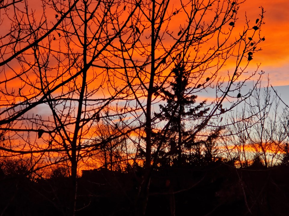
Today's image is from Betty Ann Appelkvist.
Got a Story idea? Send it here. Got a Good Morning Photo to Share? Send it here.
Fort Frances
| Snow at times heavy mixed with ice pellets. Local blowing snow. Snow and ice pellet amount 10 to 15 cm. Wind northeast 40 km/h gusting to 60. Temperature steady near minus 4. Wind chill minus 7 in the morning and minus 13 in the afternoon. |
Atikokan
| Ice pellets or snow mixed with freezing rain. Wind northeast 20 km/h gusting to 50 increasing to 40 gusting to 60 in the afternoon. Temperature steady near minus 4. Wind chill near minus 13. |
Ignace
| Snow. Snow mixed with ice pellets early in the morning. Local blowing snow. Snow and ice pellet amount 5 to 10 cm. Wind northeast 40 km/h gusting to 60. Temperature steady near minus 5. Wind chill near minus 14 |
Dryden
| Cloudy with 30 percent chance of showers or drizzle. Fog patches dissipating late in the morning. High plus 5. |
Kenora
| Cloudy. Snow at times heavy beginning near noon. Local blowing snow. Amount 5 to 10 cm. Wind northeast 30 km/h gusting to 60. High minus 4. Wind chill minus 17 in the morning and minus 12 in the afternoon. UV index 1 or low. |
Red Lake
| Cloudy. 40 percent chance of flurries in the afternoon. Wind northeast 30 km/h gusting to 50. High minus 4. Wind chill minus 18 in the morning and minus 10 in the afternoon. |
Sioux Lookout
| Cloudy with 30 percent chance of flurries in the morning and early in the afternoon. Periods of snow beginning in the afternoon. Amount 2 to 4 cm. Wind northeast 40 km/h gusting to 60. High minus 3. Wind chill minus 16 in the morning and minus 10 in the afternoon. UV index 1 or low. |
