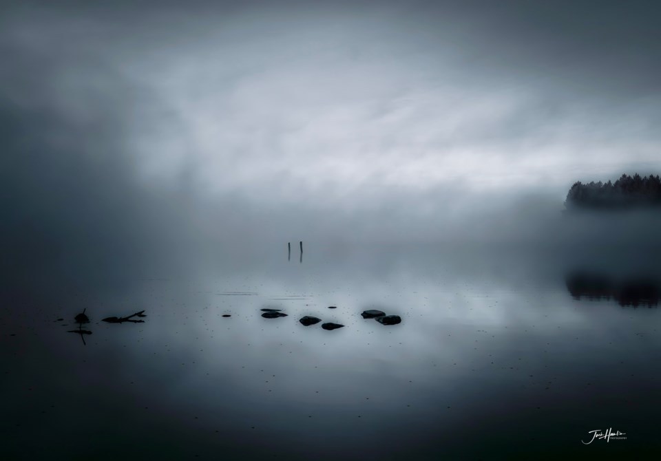
Today's image is from john Hamlin.
Got a Story idea? Send it here. Got a Good Morning Photo to Share? Send it here.
Fort Frances
Rain. Risk of a thunderstorm in the morning. Amount 20 to 30 mm. High 18. UV index 2 or low..
Atikokan
Rain. Risk of a thunderstorm in the morning and early in the afternoon. Amount 30 to 40 mm. Wind southeast 20 km/h becoming light in the morning. High 17. UV index 2 or low.
Ignace
Rain. Risk of a thunderstorm in the morning. Amount 20 to 30 mm. Wind southeast 20 km/h becoming light near noon. High 13. UV index 1 or low.
Dryden
Rain. Risk of a thunderstorm in the morning. Amount 20 to 30 mm. Wind northeast 20 km/h. Temperature steady near 13. UV index 1 or low.
Kenora
Rain ending near noon then cloudy with 40 percent chance of showers. Risk of a thunderstorm in the morning. Amount 15 to 25 mm. Wind northeast 20 km/h gusting to 40. High 15. UV index 2 or low.
Red Lake
Showers ending near noon then cloudy. Wind east 20 km/h. High 14. UV index 2 or low.
Sioux Lookout
Showers ending near noon then cloudy. Wind southeast 20 km/h gusting to 40 becoming light in the morning. Wind becoming northeast 20 in the afternoon. High 14. UV index 2 or low.
