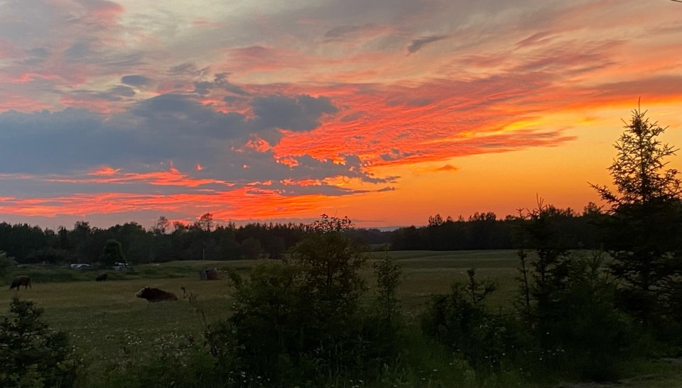
Today's image is from Karen Mitchell.
Got a Story idea? Send it here. Got a Good Morning Photo to Share? Send it here.
Fort Frances
Showers with risk of a thunderstorm. Amount 15 to 25 mm. Wind east 30 km/h gusting to 50 becoming light in the afternoon. Wind becoming west 20 late in the afternoon. High 27. Humidex 35. UV index 3 or moderate.
Atikokan
Cloudy with 30 percent chance of showers and risk of a thunderstorm. Fog patches dissipating in the morning. Wind becoming southeast 20 km/h gusting to 40 in the morning. High 29. Humidex 34. UV index 5 or moderate.
Ignace
Cloudy. 60 percent chance of showers in the afternoon with risk of a thunderstorm. Wind becoming southeast 20 km/h gusting to 40 in the morning then light in the afternoon. High 25. Humidex 32. UV index 5 or moderate.
Dryden
Cloudy. A few showers beginning late in the morning. Risk of a thunderstorm in the afternoon. Amount 10 to 20 mm. Wind southeast 20 km/h. High 25. Humidex 32. UV index 3 or moderate.
Kenora
Cloudy. A few showers beginning late in the morning. Risk of a thunderstorm in the afternoon. Amount 15 to 25 mm. Wind east 20 km/h gusting to 40. High 22 with temperature falling to 19 in the afternoon. Humidex 29. UV index 3 or moderate.
Red lake
Cloudy. A few showers beginning late in the morning. Risk of a thunderstorm in the afternoon. Amount 15 to 25 mm. Wind becoming northeast 20 km/h gusting to 40 in the morning. High 22. Humidex 27. UV index 3 or moderate.
Sioux lookout
Cloudy. A few showers beginning late in the morning. Risk of a thunderstorm in the afternoon. Amount 10 to 20 mm. Wind becoming east 20 km/h gusting to 40 late in the morning. High 24. Humidex 32. UV index 3 or moderate.
