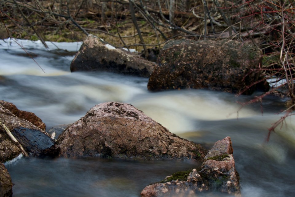
Today's image is from Noah Bellemare! Thank you Noah!
Got a Story idea? Send it here. Got a Good Morning Photo to Share? Send it here.
Fort Frances
Showers. Risk of a thunderstorm in the morning. Local amount 5 to 10 mm. Wind south 30 km/h gusting to 60 becoming west 40 gusting to 60 late in the afternoon. High 16. UV index 3 or moderate.
Atikokan
Cloudy. 60 percent chance of showers late in the morning and in the afternoon. Wind south 40 km/h gusting to 70. High 20 with temperature falling to 15 in the afternoon. UV index 3 or moderate.
Ignace
Showers. Risk of a thunderstorm in the morning and early in the afternoon. Local amount 5 to 10 mm. Wind southwest 40 km/h gusting to 60. High 20 with temperature falling to 15 in the afternoon. UV index 3 or moderate.
Dryden
Showers. Risk of a thunderstorm in the morning and early in the afternoon. Local amount 5 to 10 mm. Wind southeast 40 km/h gusting to 70 becoming south 20 gusting to 50 in the morning. High 16. UV index 3 or moderate.
Kenora
Showers. Risk of a thunderstorm in the morning and early in the afternoon. Local amount 10 to 15 mm. Wind southeast 20 km/h becoming light in the morning. Wind becoming west 40 gusting to 60 early in the afternoon. High 16 with temperature falling to 7 in the afternoon. UV index 3 or moderate.
Red lake
Mainly cloudy. 30 percent chance of showers early in the morning. Showers beginning in the morning. Risk of a thunderstorm late in the morning and in the afternoon. Local amount 10 to 15 mm. Wind southeast 20 km/h becoming light in the morning. Wind becoming west 40 gusting to 60 in the afternoon. High 18. UV index 3 or moderate.
Sioux lookout
Cloudy. 30 percent chance of showers early in the morning. Showers beginning in the morning. Risk of a thunderstorm late in the morning and in the afternoon. Local amount 5 to 10 mm. Wind south 40 km/h gusting to 60 diminishing to 20 gusting to 40 then increasing to 40 gusting to 60 near noon. High 19 with temperature falling to 15 in the afternoon. UV index 3 or moderate.
