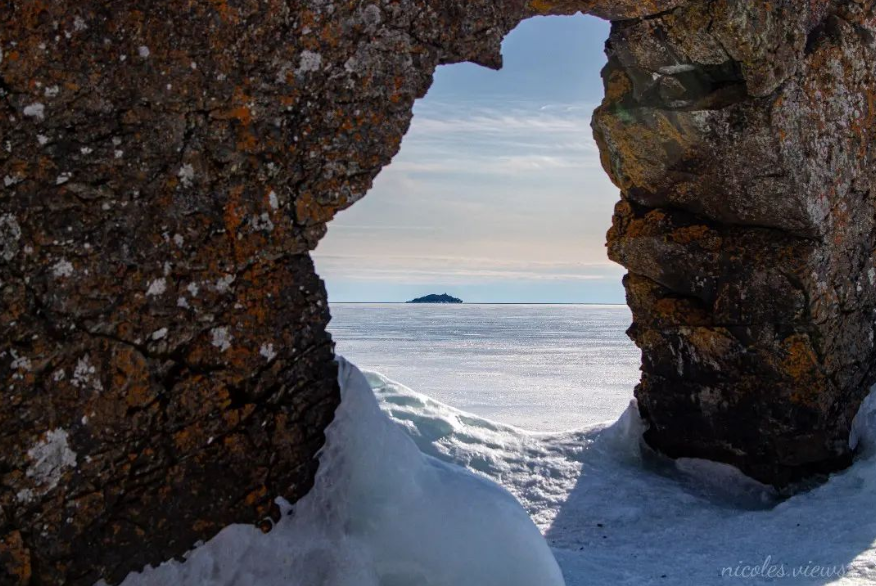
Today's image is from Nicoles Views!.Thank you Nicoles!
Fort Frances
Cloudy. 60 percent chance of flurries early in the morning. Periods of snow beginning in the morning then changing to periods of rain mixed with snow in the afternoon. Snowfall amount 5 cm. Wind becoming southeast 20 km/h gusting to 40 in the morning. High plus 3. Wind chill minus 5 in the morning. UV index 2 or low.
Atikokan
Cloudy. 40 percent chance of flurries early in the morning. Snow mixed with rain beginning in the morning. Snowfall amount 5 to 10 cm. Wind southeast 30 km/h gusting to 50. High plus 2. Wind chill minus 10 in the morning. UV index 1 or low.
Ignace
Snow becoming mixed with rain early in the afternoon. Snowfall amount 5 to 10 cm. Wind southeast 30 km/h gusting to 50. High plus 2. Wind chill minus 10 in the morning. UV index 2 or low.
Dryden
Snow becoming mixed with rain early in the afternoon. Snowfall amount 5 to 10 cm. Wind southeast 20 km/h gusting to 40 becoming light late in the afternoon. High plus 2. Wind chill minus 9 in the morning. UV index 2 or low.
Kenora
Snow mixed with rain. Snowfall amount 5 to 10 cm. Wind southeast 30 km/h gusting to 50 becoming light in the afternoon. High plus 3. Wind chill minus 9 in the morning. UV index 1 or low.
Red lake
Snow. Amount 5 to 10 cm. Wind southeast 20 km/h gusting to 40 becoming light late in the afternoon. High plus 2. Wind chill minus 9 in the morning. UV index 1 or low.
Sioux lookout
Cloudy. 60 percent chance of flurries early in the morning. Snow beginning in the morning. Amount 5 to 10 cm. Wind southeast 20 km/h gusting to 40. High plus 2. Wind chill minus 12 in the morning. UV index 1 or low.
Submit your Good Morning, Northwestern Ontario photo here: [email protected]
Don't forget to include photo credit and where the photo was taken. Not only will they appear in Good Morning, Northwestern Ontario but also in our photo gallery.
Got a story idea? Let us know what's going on in your community and what you want to see in the news today! Just email us at [email protected].
