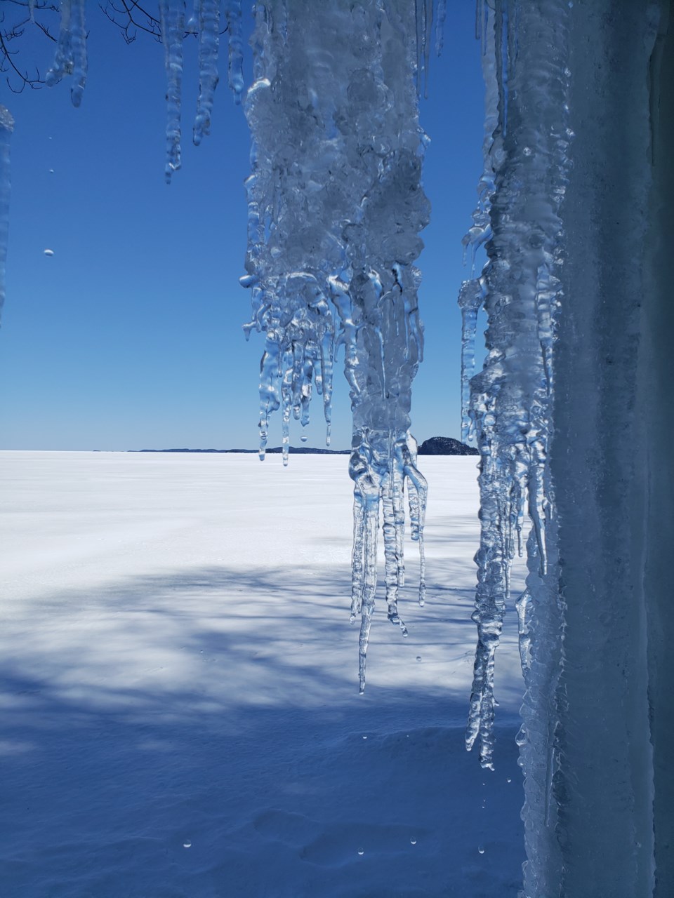
Today's image is from Chuck Wesley! Thank you Chuck!
Fort Frances
Snow. Amount 5 cm. Wind northeast 20 km/h gusting to 40 becoming northwest 20 in the afternoon. High zero. Wind chill minus 10 in the morning. UV index 1 or low.
Atikokan
Snow. Amount 5 cm. Wind northeast 20 km/h gusting to 40 becoming light in the morning. Wind becoming northwest 20 in the afternoon. High plus 1. Wind chill minus 10 in the morning. UV index 1 or low.
Ignace
Snow. Amount 5 cm. Wind northeast 20 km/h gusting to 40 becoming northwest 20 in the afternoon. High minus 1. Wind chill minus 12 in the morning and minus 3 in the afternoon. UV index 1 or low.
Dryden
Snow. Amount 5 cm. Wind northeast 20 km/h gusting to 40 becoming northwest 20 in the afternoon. High minus 1. Wind chill minus 12 in the morning and minus 3 in the afternoon. UV index 1 or low.
Kenora
Snow. Amount 5 cm. Wind northeast 20 km/h gusting to 40 becoming northwest 20 in the afternoon. High minus 2. Wind chill minus 12 in the morning and minus 6 in the afternoon. UV index 1 or low.
Red lake
Snow at times heavy. Amount 10 to 15 cm. Wind northeast 20 km/h gusting to 40 becoming northwest 20 in the afternoon. High minus 5. Wind chill near minus 15. UV index 1 or low.
Sioux lookout
Snow at times heavy. Amount 10 to 20 cm. Wind northeast 20 km/h gusting to 40 becoming northwest 20 in the afternoon. High minus 2. Wind chill minus 13 in the morning and minus 6 in the afternoon. UV index 1 or low.
Submit your Good Morning, Northwestern Ontario photo here: [email protected]
Don't forget to include photo credit and where the photo was taken. Not only will they appear in Good Morning, Northwestern Ontario but also in our photo gallery.
Got a story idea? Let us know what's going on in your community and what you want to see in the news today! Just email us at [email protected].
