Here's a look at the current local weather and gas prices.
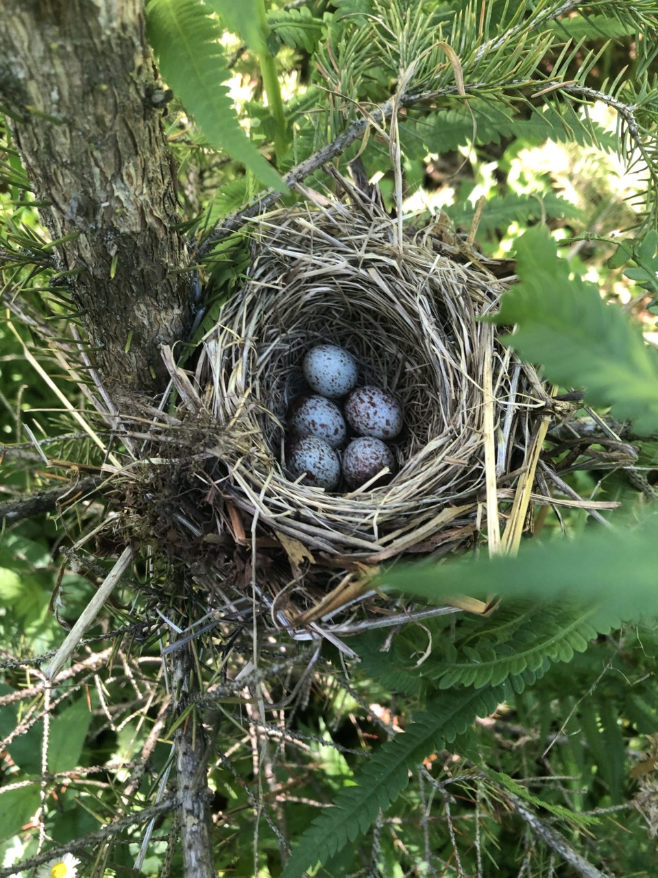
Today's image is from Mike Boutilier
Got a Story idea? Send it here. Got a Good Morning Photo to Share? Send it here.
Fort Frances
| Rain at times heavy with risk of a thunderstorm. Fog patches dissipating in the morning. Local amount 15 to 25 mm. Wind southeast 20 km/h becoming west 20 gusting to 40 late in the morning. High 19. UV index 2 or low. |
|
|
|
|
|
|
|
|
|
|
|
|
|
|
|
|
|
|
|
|
|
|
|
Atikokan
| Rain at times heavy with risk of a thunderstorm. Local amount 30 mm. Wind south 20 km/h. High 19. UV index 2 or low. |
|
|
|
|
|
|
|
|
|
|
|
|
|
|
|
|
|
|
|
|
|
|
|
Ignace
| Rain at times heavy with risk of a thunderstorm. Local amount 30 mm. Wind south 20 km/h becoming northwest 20 in the afternoon. High 14. UV index 2 or low. |
|
|
|
|
|
|
|
|
|
|
|
|
|
|
|
|
|
|
|
|
|
|
|
|
Dryden
| Rain at times heavy with risk of a thunderstorm. Fog patches dissipating in the morning. Local amount 15 to 25 mm. Wind northeast 20 km/h gusting to 40. High 14. UV index 2 or low. |
|
|
|
|
|
|
|
|
|
|
|
|
|
|
|
|
|
|
|
|
|
|
|
Kenora
| Rain at times heavy with risk of a thunderstorm. Fog patches dissipating in the morning. Local amount 15 to 25 mm. Wind northeast 20 km/h gusting to 40. High 15. UV index 2 or low. |
|
|
|
|
|
|
|
|
|
|
|
|
|
|
|
|
|
|
|
|
|
|
|
Red Lake
| Rain. Local amount 10 to 15 mm. Wind northeast 30 km/h gusting to 50. High 15. UV index 2 or low. |
|
|
|
|
|
|
|
|
|
|
|
|
|
|
|
|
|
|
|
|
|
|
|
|
|
|
Sioux Lookout
| Rain. Local amount 10 to 15 mm. Wind becoming northeast 30 km/h gusting to 50 in the morning. High 15. UV index 2 or low. |
|
|
|
|
|
|
|
|
|
|
|
|
|
|
|
|
|
|
|
|
|
|