Here's a look at the current local weather and gas prices.
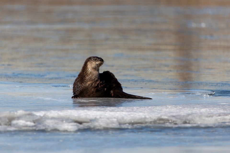
Today's image is from David Chrisholm.
Got a Story idea? Send it here. Got a Good Morning Photo to Share? Send it here.
Fort Frances
| Snow and local blowing snow. Amount 5 cm. Wind north 30 km/h gusting to 50. High minus 6. Wind chill near minus 17. UV index 1 or low. |
|
|
Atikokan
| Snow and local blowing snow. Amount 5 to 10 cm. Wind northeast 30 km/h gusting to 50. High minus 4. Wind chill minus 18 in the morning and minus 10 in the afternoon. UV index 1 or low. |
|
|
|
Ignace
| Snow and local blowing snow. Amount 5 to 10 cm. Wind northeast 30 km/h gusting to 50. High minus 7. Wind chill minus 21 in the morning and minus 14 in the afternoon. UV index 1 or low. |
|
|
|
|
|
Dryden
| Snow and local blowing snow. Amount 5 to 10 cm. Wind northeast 30 km/h gusting to 50. High minus 7. Wind chill minus 21 in the morning and minus 16 in the afternoon. UV index 1 or low. |
|
|
|
Kenora
| Snow and local blowing snow. Amount 5 to 10 cm. Wind northeast 30 km/h gusting to 50. High minus 8. Wind chill minus 21 in the morning and minus 15 in the afternoon. UV index 1 or low. |
|
Red Lake
| Snow and local blowing snow. Amount 5 to 10 cm. Wind northeast 30 km/h gusting to 50. High minus 8. Wind chill minus 23 in the morning and minus 15 in the afternoon. UV index 1 or low. |
|
Sioux Lookout
| Snow and local blowing snow. Amount 5 to 10 cm. Wind northeast 30 km/h gusting to 50. High minus 8. Wind chill near minus 21. UV index 1 or low. |
|