Here's a look at the current local weather and gas prices.
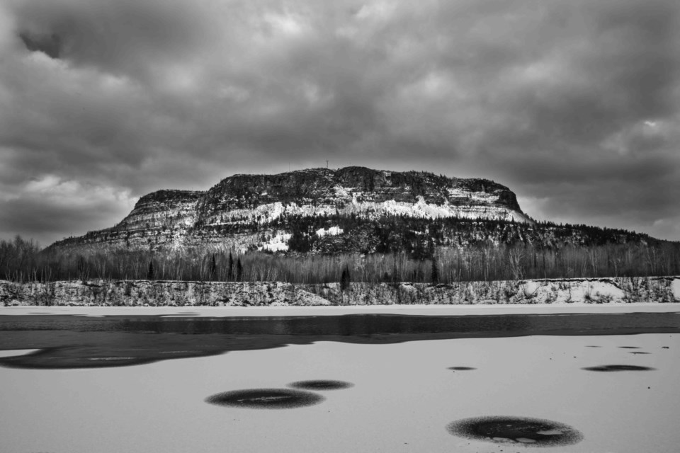
Today's image is from Brian Dourquette.
Got a Story idea? Send it here. Got a Good Morning Photo to Share? Send it here.
Fort Frances
| Mainly cloudy. Periods of snow beginning late in the afternoon. Wind becoming northeast 20 km/h gusting to 40 in the morning. High plus 2. Wind chill minus 7 in the morning. UV index 2 or low. |
Atikokan
| Mainly cloudy. 70 percent chance of rain showers or flurries late in the afternoon. Wind becoming east 20 km/h gusting to 40 in the afternoon. High plus 5. Wind chill minus 7 in the morning. UV index 2 or low. |
|
Ignace
| Cloudy. Snow beginning late in the afternoon. Wind becoming northeast 20 km/h near noon. High plus 2. Wind chill minus 8 in the morning. UV index 1 or low. |
|
Dryden
| Mainly cloudy. Snow beginning late in the afternoon. Wind becoming northeast 20 km/h in the morning. High minus 1. Wind chill minus 12 in the morning and minus 6 in the afternoon. UV index 2 or low. |
|
Kenora
| Mainly sunny. Increasing cloudiness late in the morning. Wind becoming northeast 20 km/h gusting to 40 in the morning. High minus 2. Wind chill minus 14 in the morning and minus 8 in the afternoon. UV index 2 or low. |
|
Red Lake
| Sunny. Becoming a mix of sun and cloud in the afternoon. Wind becoming northeast 20 km/h near noon. High minus 3. Wind chill minus 18 in the morning and minus 7 in the afternoon. UV index 1 or low. |
|
|
|
|
|
Sioux Lookout
| Cloudy. Becoming a mix of sun and cloud in the morning. Wind becoming northeast 20 km/h in the afternoon. High minus 2. Wind chill minus 12 in the morning and minus 7 in the afternoon. UV index 2 or low. |