Here's a look at the current local weather and gas prices.
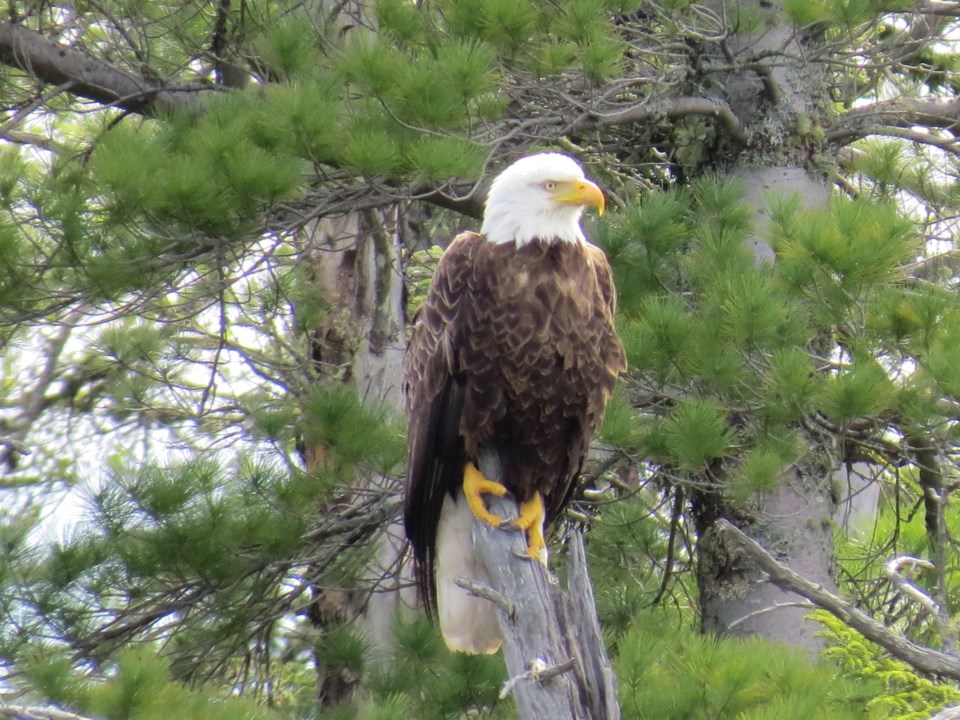
Today's image is from Sharon Bagnall
Got a Story idea? Send it here. Got a Good Morning Photo to Share? Send it here.
Fort Frances
| Snow and local blowing snow. Amount 10 to 15 cm. Wind north 30 km/h gusting to 50. Temperature falling to minus 14 in the afternoon. Wind chill minus 11 in the morning and minus 26 in the afternoon. |
Atikokan
| Cloudy. 30 percent chance of flurries in the morning. Snow and local blowing snow beginning near noon. Risk of freezing drizzle in the morning. Amount 5 cm. Wind north 30 km/h gusting to 50. Temperature falling to minus 12 in the afternoon. Wind chill minus 10 in the morning and minus 26 in the afternoon. UV index 1 or low. |
|
Ignace
| Snow and local blowing snow. Risk of freezing drizzle early in the morning. Amount 10 to 15 cm. Wind north 30 km/h gusting to 50. Temperature falling to minus 18 in the afternoon. Wind chill minus 16 in the morning and minus 31 in the afternoon. Risk of frostbite. |
|
Dryden
| Snow and local blowing snow. Amount 10 to 15 cm. Wind northeast 30 km/h gusting to 50. Temperature falling to minus 19 in the afternoon. Wind chill minus 23 in the morning and minus 32 in the afternoon. Risk of frostbite. UV index 1 or low. |
|
Kenora
| Snow and local blowing snow. Amount 5 to 10 cm. Wind north 30 km/h gusting to 50. Temperature falling to minus 18 in the afternoon. Wind chill near minus 30. Risk of frostbite. UV index 1 or low. |
Red Lake
| Snow and local blowing snow. Amount 5 to 10 cm. Wind northeast 30 km/h gusting to 50. High minus 19. Wind chill minus 36 in the morning and minus 29 in the afternoon. Risk of frostbite. |
|
Sioux Lookout
| Snow and local blowing snow. Amount 10 to 15 cm. Wind northeast 30 km/h gusting to 50. Temperature falling to minus 19 in the afternoon. Wind chill minus 25 in the morning and minus 33 in the afternoon. Risk of frostbite. UV index 1 or low. |
|
|