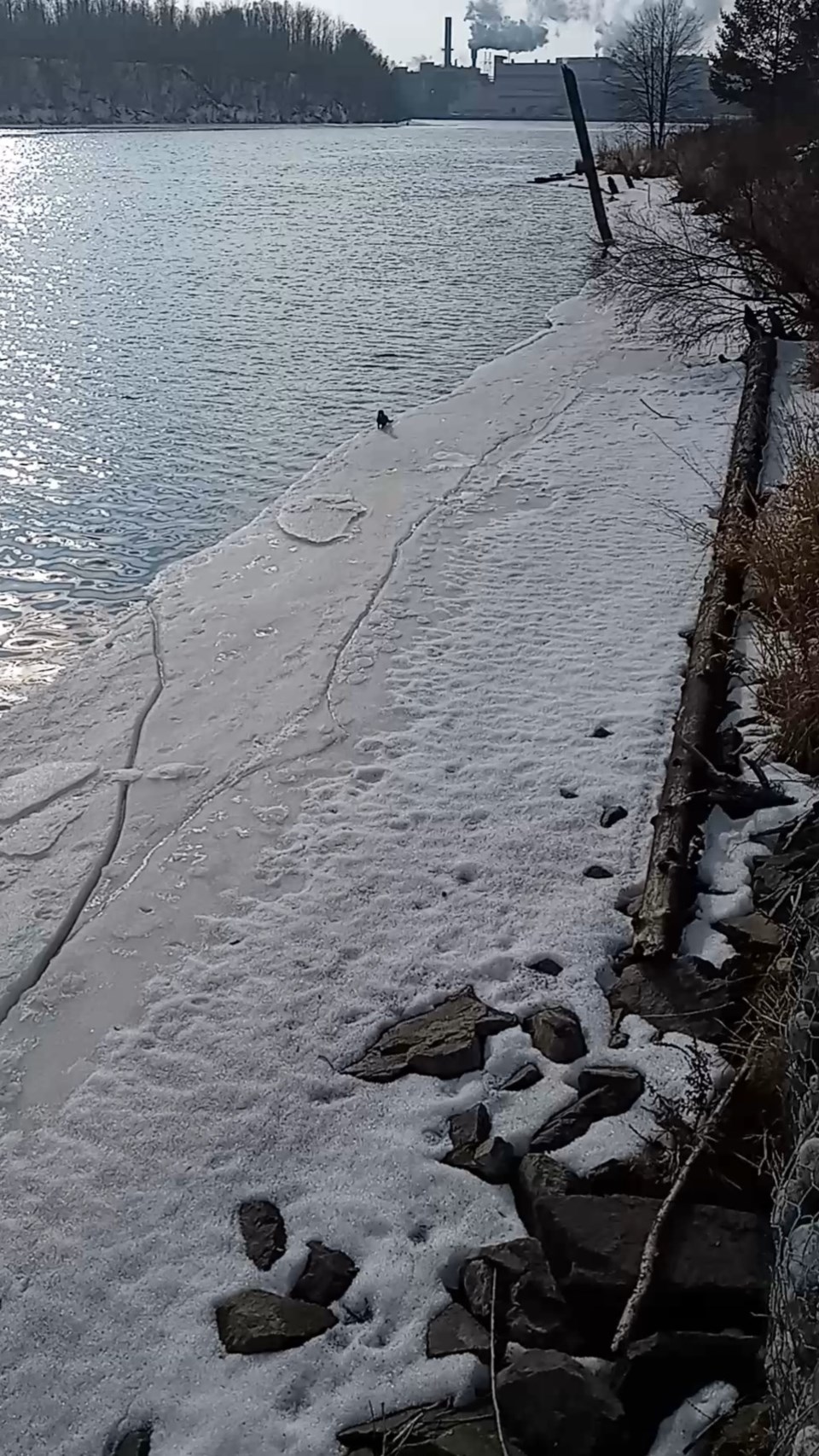
Today's image is from Rocci Lago.
Got a Story idea? Send it here. Got a Good Morning Photo to Share? Send it here.
Fort Frances
| Flurries. Risk of freezing drizzle in the morning. Wind west 20 km/h gusting to 40. High minus 3. Wind chill near minus 12. |
Atikokan
| Light snow. Risk of freezing drizzle in the morning. Wind south 20 km/h becoming light early in the morning. Wind becoming west 20 gusting to 40 in the morning. High minus 3. Wind chill minus 17 in the morning and minus 9 in the afternoon. |
Ignace
| Light snow. Risk of freezing drizzle in the morning. Wind south 20 km/h becoming light early in the morning. Wind becoming west 20 gusting to 40 in the morning. High minus 3. Wind chill minus 15 in the morning and minus 9 in the afternoon. |
Dryden
| Flurries. Risk of freezing drizzle in the morning. Wind west 20 km/h gusting to 40. High minus 3. Wind chill minus 15 in the morning and minus 9 in the afternoon. |
Kenora
| Flurries. Risk of freezing drizzle in the morning. Wind west 20 km/h gusting to 40 becoming light late in the afternoon. High minus 3. Wind chill minus 13 in the morning and minus 7 in the afternoon. |
Red Lake
| Light snow. Local amount 2 cm. Wind west 20 km/h gusting to 40. High minus 3. Wind chill near minus 13. |
Sioux Lookout
| Light snow. Risk of freezing drizzle in the morning. Amount 2 cm. Wind becoming west 20 km/h gusting to 40 in the morning. High minus 3. Wind chill minus 14 in the morning and minus 9 in the afternoon. |
