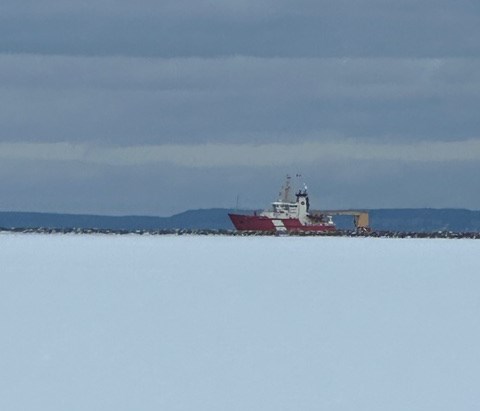
Today's image is from Chris Moorhead
Got a Story idea? Send it here. Got a Good Morning Photo to Share? Send it here.
Fort Frances
Increasing cloudiness early in the morning. 30 percent chance of flurries late in the morning and in the afternoon. Wind up to 15 km/h. High minus 10. Wind chill minus 27 in the morning and minus 15 in the afternoon. UV index 1 or low.
Atikokan
Increasing cloudiness early in the morning. 30 percent chance of flurries late in the afternoon. Wind up to 15 km/h. High minus 11. Wind chill minus 29 in the morning and minus 14 in the afternoon. Risk of frostbite. UV index 1 or low.
Ignace
Increasing cloudiness. 30 percent chance of flurries in the afternoon. Wind up to 15 km/h. High minus 13. Wind chill minus 32 in the morning and minus 17 in the afternoon. Risk of frostbite. UV index 1 or low.
Dryden
Increasing cloudiness. 30 percent chance of flurries late in the morning and early afternoon. Light snow beginning early in the afternoon. Wind up to 15 km/h. High minus 13. Wind chill minus 29 in the morning and minus 17 in the afternoon. Risk of frostbite. UV index 1 or low.
Kenora (Kenora)
Increasing cloudiness. 30 percent chance of flurries late in the morning. Light snow beginning near noon. Wind up to 15 km/h. High minus 13. Wind chill minus 29 in the morning and minus 19 in the afternoon. Risk of frostbite. UV index 1 or low.
Red Lake
Increasing cloudiness. 30 percent chance of flurries late in the morning. Light snow beginning near noon. Wind up to 15 km/h. High minus 13. Wind chill minus 32 in the morning and minus 19 in the afternoon. Risk of frostbite. UV index 1 or low.
Sioux Lookout
Increasing cloudiness. 30 percent chance of flurries late in the morning and early afternoon. Light snow beginning early in the afternoon. Wind up to 15 km/h. High minus 13. Wind chill minus 33 in the morning and minus 18 in the afternoon. Risk of frostbite. UV index 1 or low.
