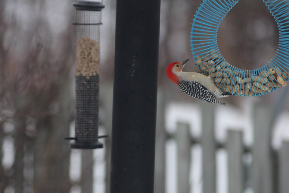
Today's image is from Susan Foulds
Got a Story idea? Send it here. Got a Good Morning Photo to Share? Send it here.
Fort Frances
Snow. Amount 2 to 4 cm. Wind becoming west 20 km/h gusting to 40 in the morning. High plus 1. Wind chill minus 21 in the morning.
Atikokan
Snow. Amount 5 to 10 cm. Wind becoming west 20 km/h gusting to 40 in the afternoon. High minus 5. Wind chill minus 24 in the morning and minus 12 in the afternoon.
Ignace
Snow. Amount 5 to 10 cm. Wind becoming west 20 km/h gusting to 40 in the morning. High minus 3. Wind chill minus 25 in the morning and minus 9 in the afternoon.
Dryden
Snow. Amount 5 to 10 cm. Wind becoming west 20 km/h gusting to 40 in the morning. High minus 3. Wind chill minus 25 in the morning and minus 9 in the afternoon.
Kenora (Kenora)
Snow. Amount 5 cm. Wind becoming west 20 km/h gusting to 40 in the morning. High minus 1. Wind chill minus 20 in the morning and minus 7 in the afternoon.
Red Lake
Snow. Amount 5 cm. Wind becoming west 20 km/h gusting to 40 in the morning. High minus 3. Wind chill minus 23 in the morning and minus 9 in the afternoon.
Sioux Lookout
Snow. Amount 5 to 10 cm. Wind becoming west 20 km/h gusting to 40 near noon. High minus 7. Wind chill minus 28 in the morning and minus 14 in the afternoon. Risk of frostbite.
